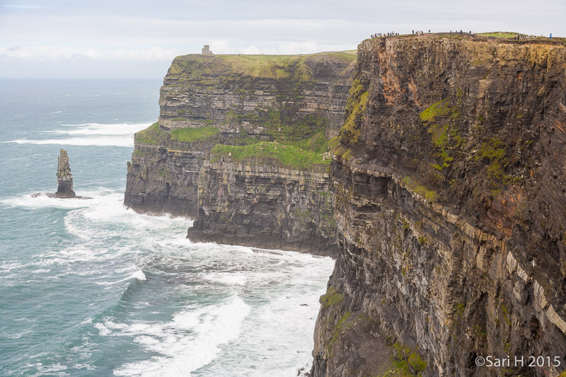
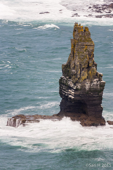
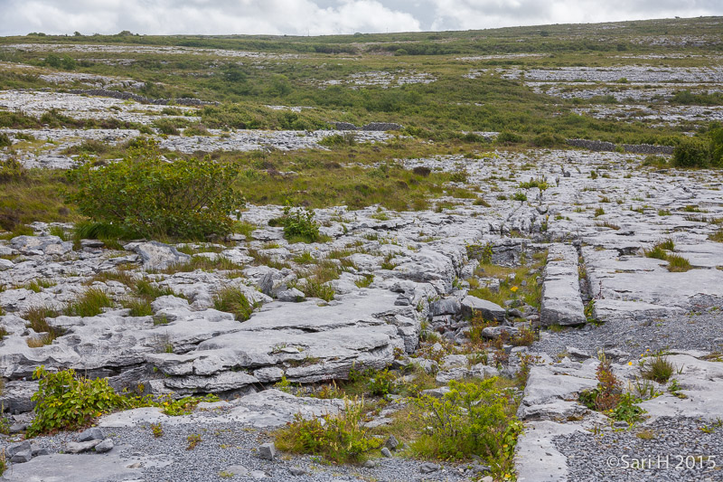
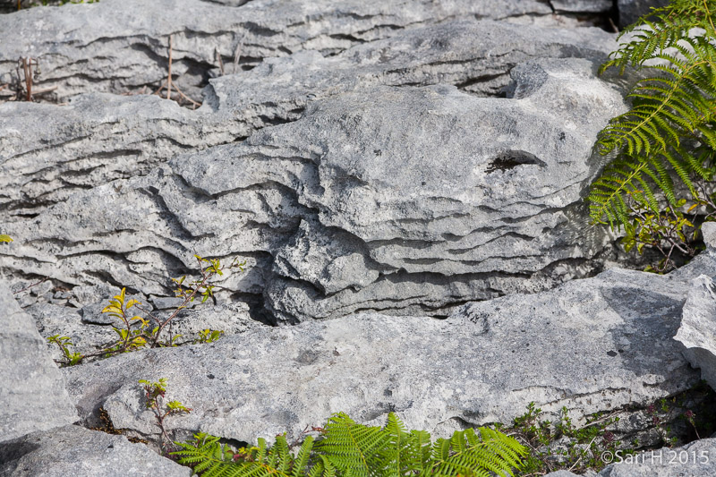
Cliffs of Moher and The Burren
Pictures taken at Cliffs of Moher and The Burren on Our Summer Holiday 2015 in Ireland.